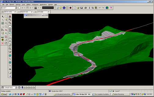
Using MicroStation for Visualization

This guide is not intended to show the FLH designer how to use Geopak to design roads or build 3D models but rather to use 3D tools in Geopak and Microstation to better create useful visualizations of design projects. It is assumed the user will have good Microstation skill in 2D and potentially some basic 3D skills before using this guide. The chapter is divided into three sections: basic techniques, advanced techniques, and a resources section. Most of the steps described in the guide are based on the implementation in Microstation V8.1. There are some visualization tools that are slightly different or only supported in Microstation V8 2004 edition, these will be noted as such when described.
Basic Microstation Techniques
These sections introduce the most commonly used 3D navigation and rendering tools in Microstation. Most of the tools shown in these sections will already be familiar to experienced Microstation users. Covered are topics such as viewport manipulation in 3D, surfacing road designs, cameras and views, basic lighting and materials, and some simple animation.
Advanced Microstation Techniques
These sections cover some more advanced tools- building and modifying 3D objects in Microstation, and more advanced lighting and materials.
Available Online Resources
Included in these sections are links to Microstation and Geopak Resources, as well as FLH sites.
