Guanella Pass - 3D Modeling
The Guanella Pass Proposed Road Improvements Project CD-ROM is an early example of a multimedia CD-ROM created to present a visual comparison between an existing highway and prosposed alternatives. Created for Windows 95, this project was developed before many of the newer technologies discussed in this guide were fully mature, but it is nevertheless a good example of strong interactive design and effective use of digital media. In addition to many of the qualities described in the Beartooth Highway case study, this project includes:
Concise, easily understandable choices
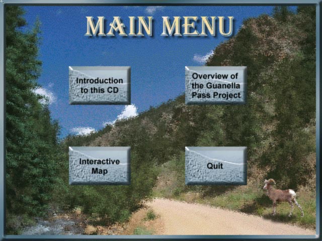
The main screen of this project offers the user only four choices: A project introduction, a CD introduction, an interactive map, and Quit. By establishing a flowchart of the projects navigation before creating the project, the creators have condensed the possible options to only those are most useful.

Guanella Pass Road CD-ROM - Main menu (click image for high resolution view - 68KB)
Audio Narration
In each main section of the CD-ROM, voice narration is provided to complement the visual data offered. This feature provides an additional tool to help the user understand the presented information, as well as providing enhanced accessibility for those with visual challenges.

Guanella Pass Road CD-ROM - Audio Narration Example (click image to hear file - 293KB)
Text maps
While visual maps are often the most effective method to orient a user to their location in an interactive environment, textual maps can be an important addition if the many areas within the environment are best known by their names. The Guanella Pass CD-ROM incorporates both kinds of maps, and allows the user to toggle between both.

Guanella Pass Road CD-ROM - Text map (click image for high resolution view - 57KB)
Easily understandable media controllers
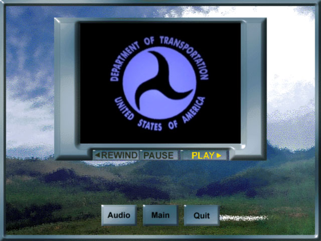
Offer users the ability to control the various kinds of digital media offered in a multimedia presentation is an important part of helping them to make the most of what's available. For both video and audio clips, the ability to pause and rewind is important, as is clearly notifying users that these functions are available. The media controllers in the Guanella Pass CD-ROM are presented clearly, with little possibility of confusion about their function.

Guanella Pass Road CD-ROM -- Video controller (click image for high resolution view - 62KB)
3D Animation
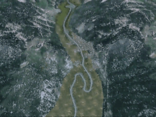
The animations on this CDROM are interesting examples of highway design visualization in that they start with an elevated camera viewpoint and slowly drop down to a driver's view. They show the layout of the proposed design as well as the view future users will have in one continuous animation. They were produced using a terrain model of the region produced from USGS data mixed with road design data for future conditions. An aerial image was draped over the surfaces to add texture and realism to the terrain, then trees were placed along the roadway to enclose the driver's level views more effectively. Click on the image below to play the animation, or right click to save to disk (5.5 MB).

